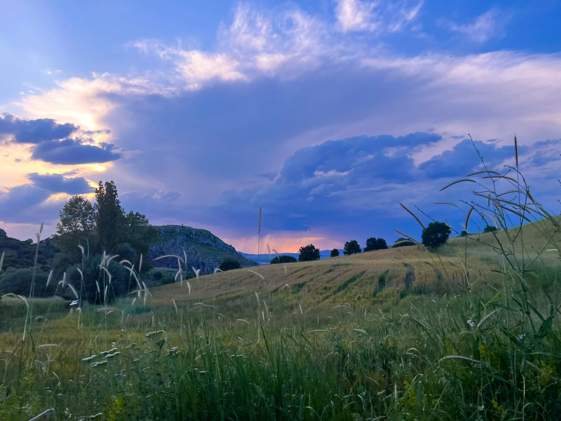
Photo taken in Hattusa (Boğazkale) from Budaközü Valley
Hittite Trail & Museums
Central Turkey, June, 2023
Notes & Photography
Basics
Route: Hittite Trail ( Official Site )
Dates: June 24th, - 30th, 2023
Type: Section Hike & Intercity Travel (details below)
The shortest version for thru-hiking is around 230 km.’s
Starting Point: Alacahöyük.
Getting There: I got to Alacahöyük where the village Hüyük is located by a taxi from Alaca, which I got to from Yozgat center by a minibus.
Resources
- A great introduction would be the cultural routes society website:
https://cultureroutesinturkey.com/hittite-trail/
- The book by Ersin Demirel can be bought hereandThe GPS files I used can be downloadedhereas well.
- If you have no idea about the Hittites, I’d recommend this documentary for general overview, freely available on youtube and over 2 hours - Original in English, narrated by Jeremy Irons.
https://www.youtube.com/watch?v=_9S40sXeJ2k
- Interesting project mapping hittite remains:
Introduction to Hittite Trail
Hittites as a civilization spread across the Anatolia and down to Mesopotamia. The Hittite trail is actually centered mostly on the very original area of departure of this empire. We know that Hattusa, was also the capital of the Hatti civilization which the Hittites hijacked and took over in time. When I studied the route, I planned it to connect three main cities and two canyons; Alacahöyük, Hattusa and Shapinuva are the cities connected by the Hittite trail. Budaközü Valley is right next to Hattusa, and Incesu Canyon is not far away from Shapinuva.
Travel Log
My plan was to be able to walk at least a few days - I only had 6 days in total. So this is how it all turned out:
Day 1 - 24.6.2024
Arrive at Yozgat at Midday > (It was a night bus from Istanbul that was supposed to arrive in the morning, but because it was the holidays, the motorway from Istanbul to Ankara direction was packed and we got stuck, delay totalling 5-6 hours.) Yozgat city centre & museums visits > Minibus to Alaca from Yozgat bus station > Taxi from Alaca bus station to Hüyük > Visit Alacahöyük museum and the city > Start walking in the afternoon towards Hattusa > Camp near a farmhouse near Imat Village
Day 2 - 25.6.2024
All day walk from Imat to Boğazkale > Arrive at Aşıkoğlu Hotel’s camping > Lovely dinner with the Mr. Cengiz and locals at the Hotel
Day 3 - 26.6.2024
Breakfast at hotel > walked around the center of Bogazkale > Spent almost all day touring with Bogazkale expert local Mr. Atilla ( Bogazkale is huge to tour in detail by foot, be warned, we had the car too) > Yazılıkaya visit > Budazközü Valley
Day 4 - 27.6.2024
Leave bogazkale for Ortaköy (The trail goes from Bogazkale to Sapinuva near Ortakoy, so I skipped the most of it) > Walk to Sapinuva (Sapinuva does not have a museum, or even a proper museum entrance, it is more like an ongoing dig site, which makes it even more appealing maybe) > Reach to Incesu Canyon (Hitch) > Camp
Day 5 - 28.6.2024
Walk in the Canyon, Swim > Get a ride to Corum (Arefe day for Bayram) > Visit the center & the museum (Lovely museum both the building, the outside, and the material inside) > Catch a bus to Ankara
Day 6 - 29.6.2024
Anadolu Medeniyetleri Müzesi / Anatolia Civilizations Museum (First visit after 10 years or so, Probably the best museum in Turkey also the largest collection of Hittite artifacts as well as Phrygian and others) Kale area stroll.
Day 7 - 30.6.2024
Rest in Ankara > Visit METU & the lake Eymir > Catch the night train to Istanbul.
Notes
As I mentioned, this was not really a trail hiking trip, and I actually missed out most of the trail, so I can not make very detailed recommendations, but I’ll try to share what I noticed.
The Season: I was there in late June, I was happily surprised to see how green the landscape was - this is also because generally central Anatolia is always pictured with a yellowish brown tint (Boz) in my head. The locals also mentioned that this time is their Spring, with waters overflowing from fountains and streams. (I had to change course because of the mud a few times) So, I’d most certainly recommend taking the route at this time.
Incesu - Camping: At first I pitched my tent right in the canyon next to the water but then I was warned by people who worked in the construction projects in the area about the falling rocks. So I moved into the village and camped next to the Muhtarlık.
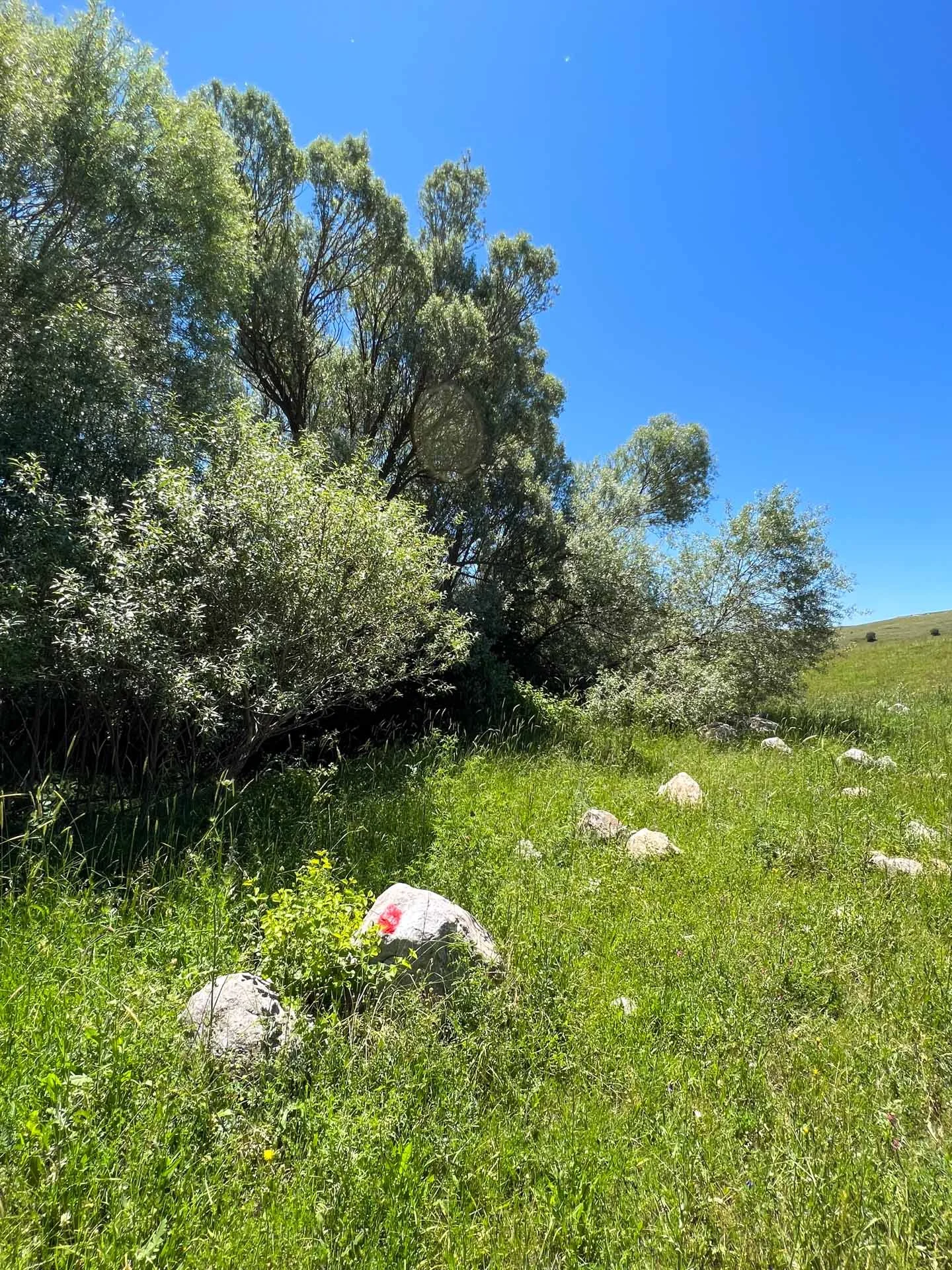
Navigation: Markers were quite visible, however, because the grass and wheat growing tall, it did miss a few turns. I’d say delfinitely go with the gps and do not only rely on the way markers.
Photography
Photographs collected under two seperate galleries for easier viewing.